| Antique Prints | Autographs | Rare Books | Connecticut | Law |
| Maps | Miscellaneous | Newspapers & Magazines | Historical Memorabilia | Political |
| World War I Posters | World War II Posters |

|
|
|
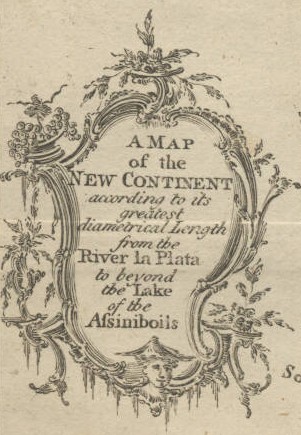
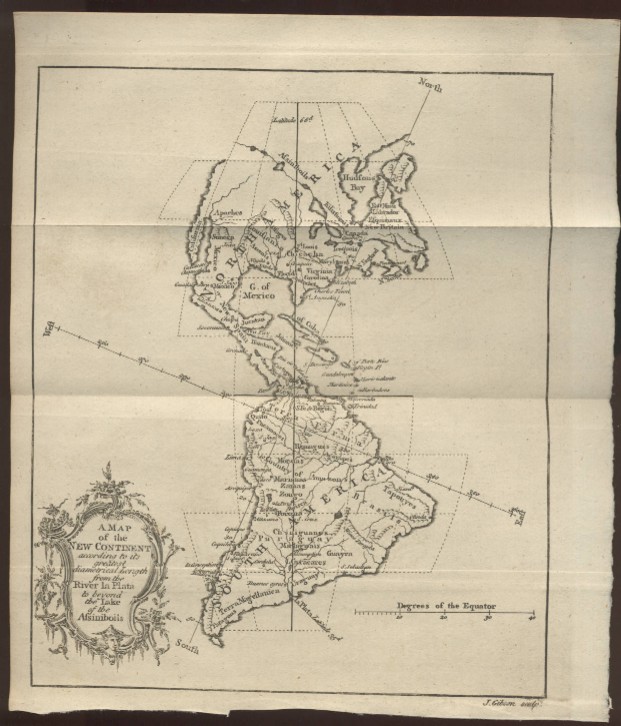
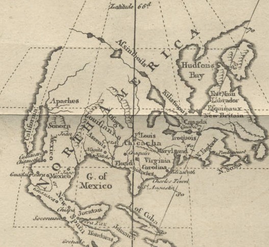
"A Map of the New Continent According to its Greatest Diametrical Length from the River la Plata to beyond the Lake of the Assiniboils"
Below is the portion of the map that encompasses Canada, the United States, Mexico and Central America.
Date: 1758 Price: SOLD
|