| Antique Prints | Autographs | Rare Books | Connecticut | Law |
| Maps | Miscellaneous | Newspapers & Magazines | Historical Memorabilia | Political |
| World War I Posters | World War II Posters |

|
|
|
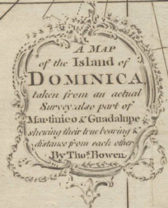
"A Map of the Island of Dominica, Taken from an Actual Survey: Also Part of Martinico & Guadaloupe Shewing their True Bearing & Distance from each other. By Thos. Bowen"
Date: 1778 Price $90 Pay securely with credit card through PayPal by clicking the button below
|