| Antique Prints | Autographs | Rare Books | Connecticut | Law |
| Maps | Miscellaneous | Newspapers & Magazines | Historical Memorabilia | Political |
| World War I Posters | World War II Posters |

|
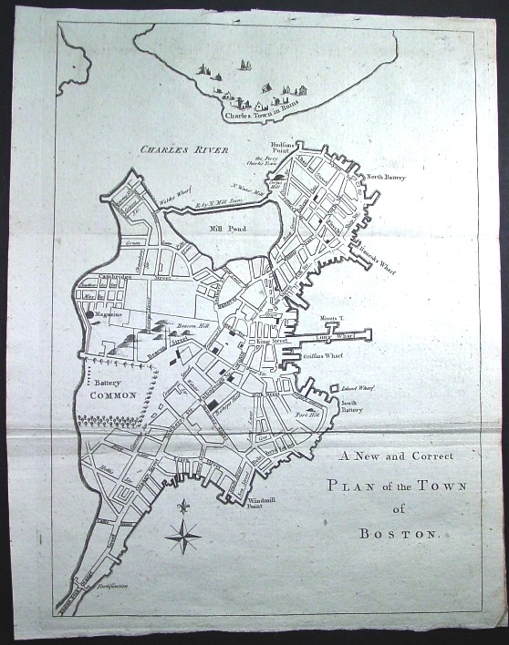
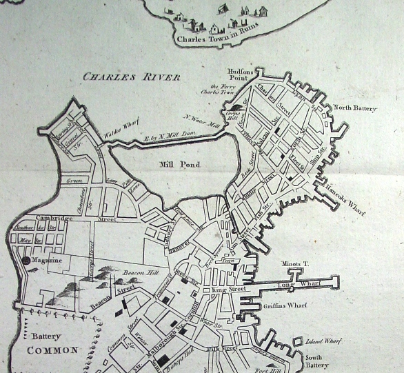
1775 "A New and Correct Plan of the Town of Boston"
A classic map of Boston when all eyes were on the center of Revolutionary agitation and British repression in 1775. A very nice copy as shown by the pictures above and below. Visible on the map is John "Hancock's Wharf" as well as "Long Wharf" and the "Charles Town Ruins" after the battle of Bunker Hill, which took place a few months before this map was published in Gentleman's Magazine.
Title: A New and Correct Plan of the Town of Boston Price: SOLD
|