History Gallery

Antique Prints Autographs Rare Books Connecticut Law
Maps Miscellaneous Newspapers & Magazines Historical Memorabilia Political
  World War I Posters   World War II Posters  

HOME       About Us


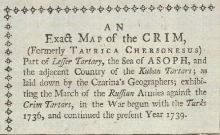
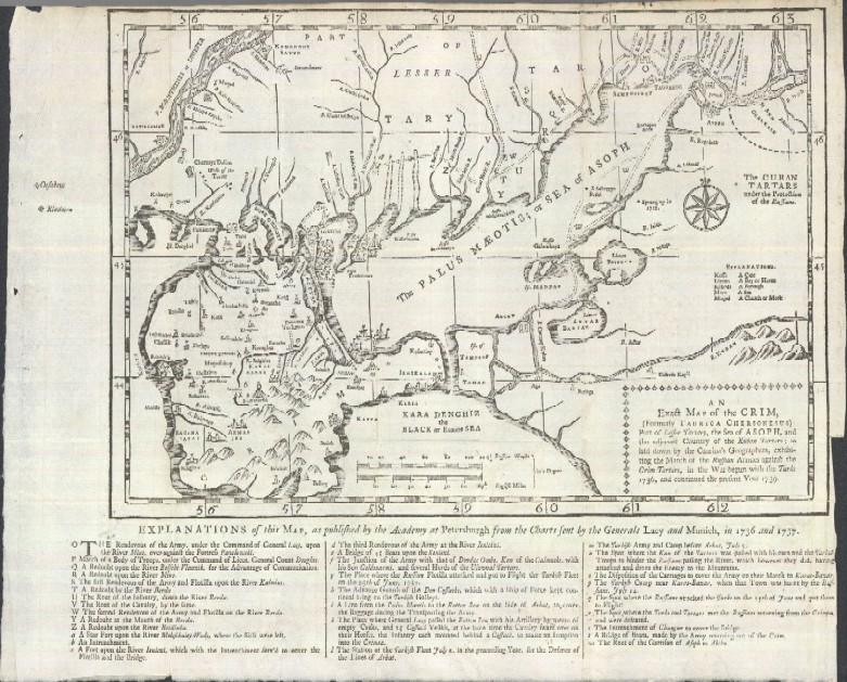
"An Exact Map of the Crim, (Formerly Taurica Chersonesus) Part of Lesser Tartary, the Sea of Asoph, and the Adjacent Country of the Kuban Tartars; as Laid Down by the Czarina's Geographers; Exhibiting the March of the Russian Armies"

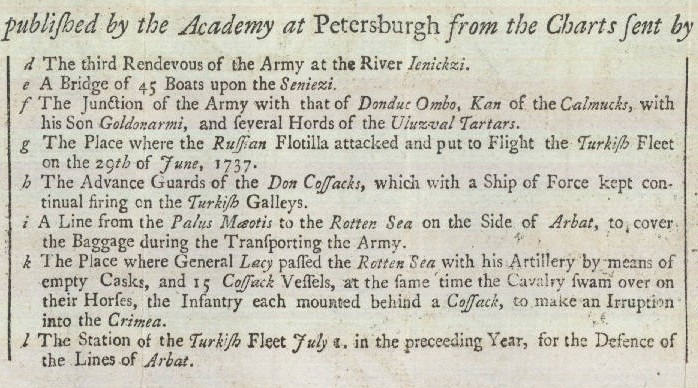
This impressive early antique map is of the Crimea section of Russia, called the Crim in 1739 when this map was published. Below is a close-up of the legend of the map explaining the areas of military conflict. 1739 was the last year of the war between the Russian and Turkish or Ottoman empires over this territory, which was important to the Russians to give them access to the Black Sea. This is what Wikipedia says about the conflict in this area:

On May 20, 1736, the Russian Dnieper army (62,000 men) under the command of Field Marshal Burkhard Christoph von Munnich took by storm the Turkish fortifications at Perekop and occupied Bakhchisaray on June 17. However, lack of supplies coupled with the outbreak of an epidemic forced Munnich to retreat to Ukraine. On June 19, the Russian Don army (28,000 men) under the command of General Peter Lacy with the support from the Don Flotilla under the command of Vice Admiral Peter Bredahl seized the fortress of Azov. In July of 1737, the Munnich army took by storm the Turkish fortress of Ochakov. The Lacy army (already 40,000 men strong) marched into the Crimea the same month, inflicting a number of defeats on the army of the Crimean khan and capturing Karasubazar. However, Lacy and his soldiers had to leave the Crimea due to lack of supplies.
 

Date: 1739
Size: 22 x 32 cm. (8½ x 12½ in.) [HxW]
References: Jolly, D.C. (Brit Per) GENT-3.
Region: Europe: Russia, Crimea

Price: SOLD