| Antique Prints | Autographs | Rare Books | Connecticut | Law |
| Maps | Miscellaneous | Newspapers & Magazines | Historical Memorabilia | Political |
| World War I Posters | World War II Posters |

|
|
|
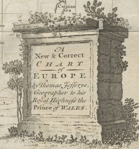
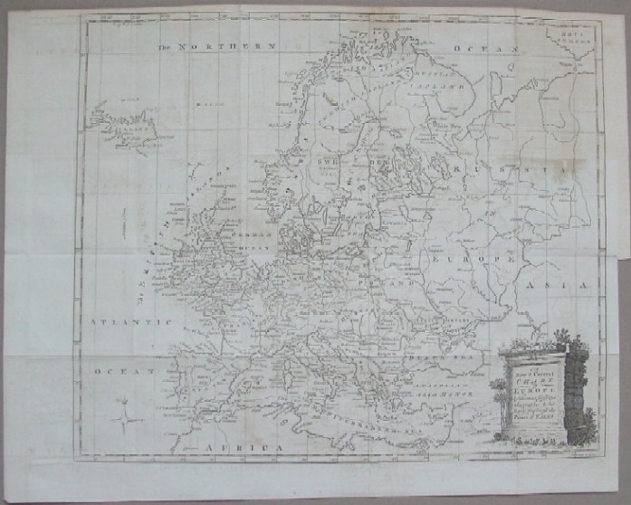
"A New & Correct Chart of Europe by Thomas Jefferys, Geographer to his Royal Highness the Prince of Wales"
This impressive map of Europe pictures the continent at the start of the first truly world war, the Seven Years War (the French and Indian War in America) by the notable map maker Thomas Jefferys.
Year: 1756 Price: $110 Pay securely with credit card through PayPal by clicking the button below
|