| Antique Prints | Autographs | Rare Books | Connecticut | Law |
| Maps | Miscellaneous | Newspapers & Magazines | Historical Memorabilia | Political |
| World War I Posters | World War II Posters |

|
|
|
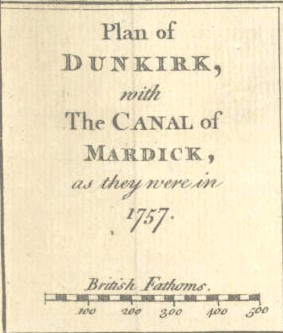
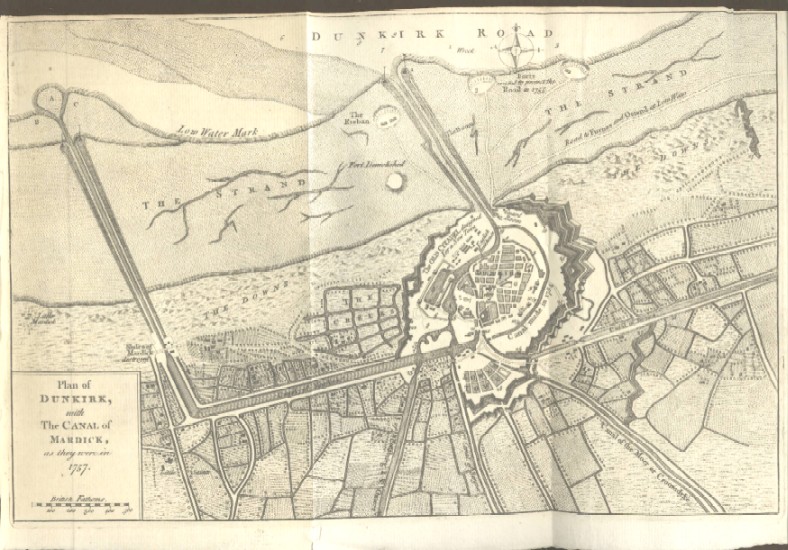
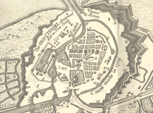
"Plan of Dunkirk, with the Canal of Mardick, as they were in 1757"
The name Dunkirk is justly famed in military history as the place that was evacuated to save the British Army against the Nazi onslaught. But its military history starts earlier than 1940 as the map of the Dunkirk fortifications below demonstrate. Dunkirk's critical location on the coast of northern France made it a prime military location for centuries before World War II. The map here shows Dunkirk's state of military readiness during the Seven Years War, the first truly world war which in America was called the French and Indian War.
Date: 1763 Price: $75 Pay securely with credit card through PayPal by clicking the button below
|