| Antique Prints | Autographs | Rare Books | Connecticut | Law |
| Maps | Miscellaneous | Newspapers & Magazines | Historical Memorabilia | Political |
| World War I Posters | World War II Posters |

|
|
|
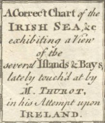
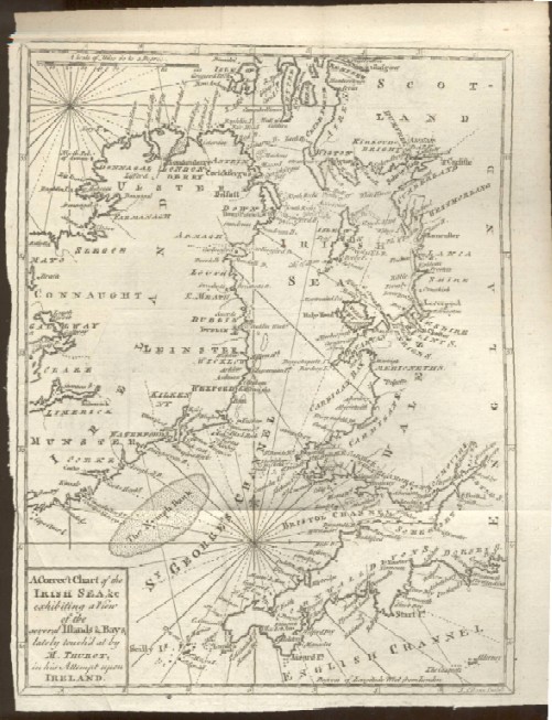
"A Correct Chart of the Irish Sea, &c. Exhibiting a View of the Several Islands & Bays, Lately Touch'd at by M. Thurot, in his Attempt upon Ireland"
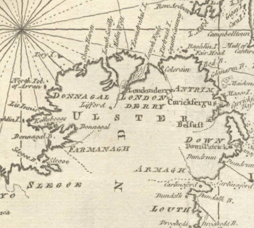
Below is a close-up of the map showing Northern Ireland, showing counties Slego, Donegal, Londonderry, Antrim, Armagh, Louth and Down with the city of Belfast.
Date: 1760 Price: $125 Pay securely with credit card through PayPal by clicking the button below
|